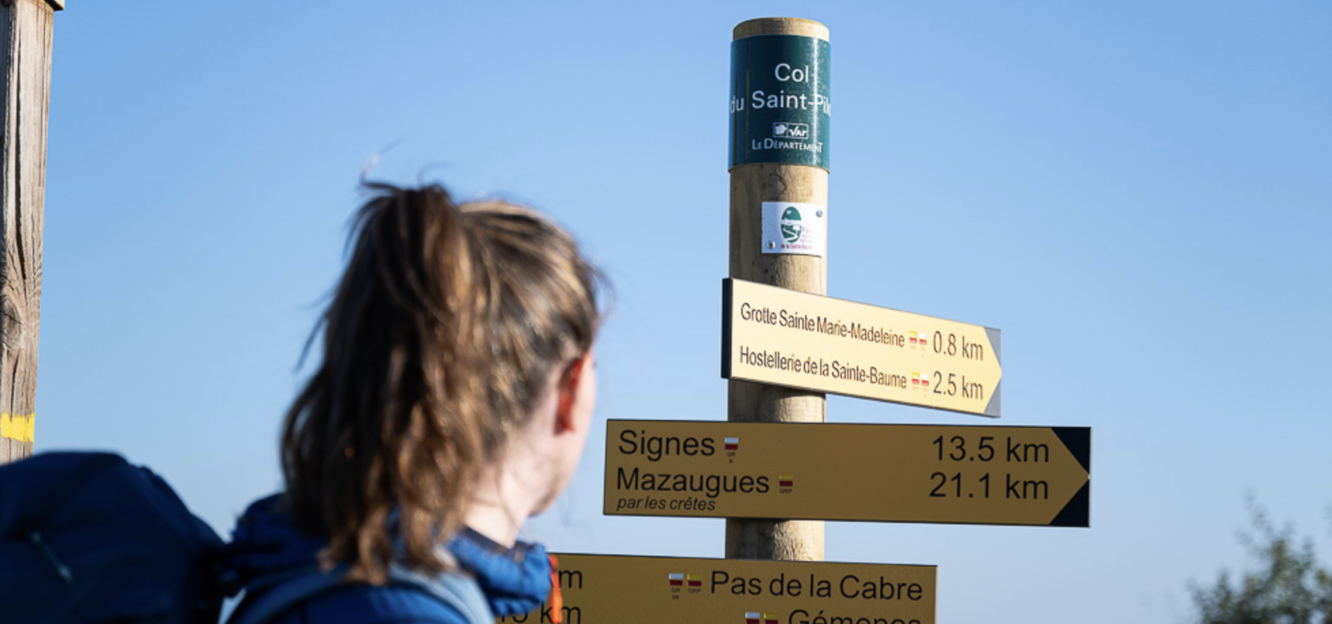
In the heart of nature
1. La Boucle du Défends
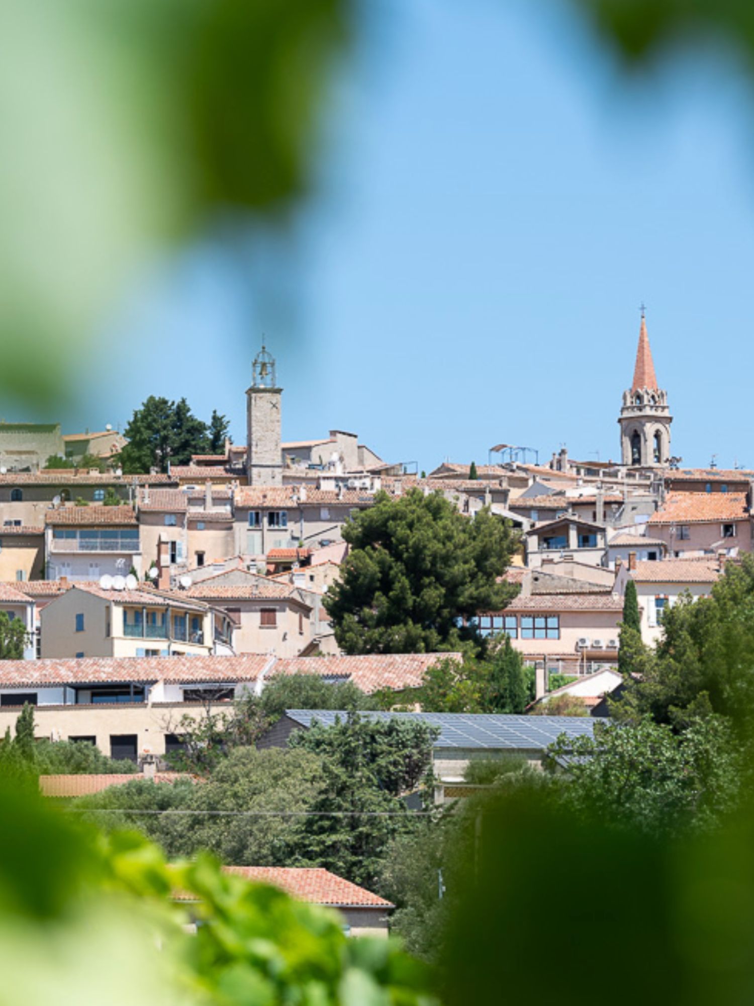
La Cadière d'Azur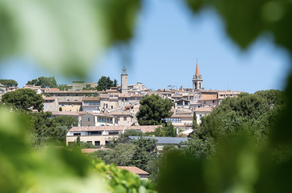
Description
The Boucle du Défends is a charming hike that plunges you into the heart of Provence's nature and history. Along the way, you'll discover the rich Mediterranean flora through educational panels, offering information on local species such as Aleppo pine (also known as Pin Blanc de Provence), holm oaks and various orchids. The trail also takes you to remarkable heritage sites, such as the 17th-century Sainte-Croix chapel and the 1814 Monument à la Paix. The latter, erected in tribute to the Treaty of Paris, stands opposite a viewpoint offering a magnificent panoramic view of the bay of Saint-Cyr-les-Lecques and the Sainte-Baume.
Distance and time
- Distance 4.8 km.
- Running time approx. 1 hr 20 min.
Difficulty
- Level : medium.
- Land : stony, with a positive vertical drop of 227 metres.
Assets
- Natural heritage : A wide variety of Mediterranean flora to be discovered thanks to explanatory panels.
- Historical heritage : discover the 17th-century Chapelle Sainte Croix, and the 1814 Monument à la Paix.
- Panoramic views : spectacular views over the bay of Saint-Cyr-les-Lecques and the Sainte-Baume massif.
- Accessibility : close to the town of La Cadière d'Azur, with convenient parking at Place Charles de Gaulle.
In a nutshell
2. The trail from Belvedere to Gros Cerveau
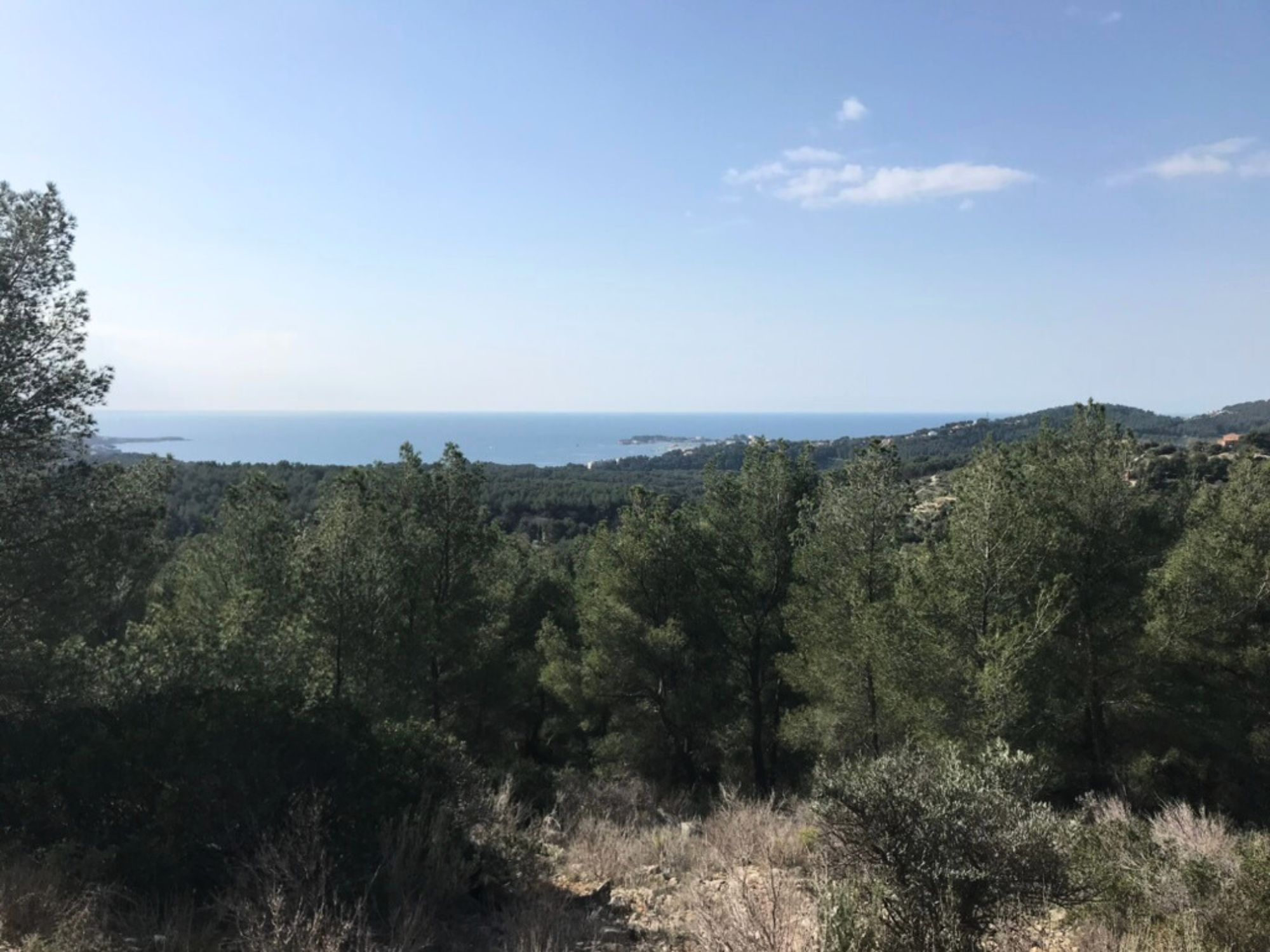
Sanary-sur-Mer
Description
The Belvedere trail links the Gros Cerveau fort to the ouvrage de la Pointe, offering a breathtaking panorama of the Provencal landscape. The route takes in impressive views from La Ciotat to the island of Porquerolles to the south, extending to the Sainte-Baume massif to the north, the Ollioules gorges and the Sainte-Anne d'Évenos sandstones to the east. Along the way, you'll pass fascinating historic sites such as the Gros Cerveau fort, dating from 1890, and the Jardin des Oliviers, a conservatory dedicated to preserving Provençal agricultural traditions.
Distance and time
- Distance: 13,5 km.
- Duration: approx. 5 hours.
Difficulty
- Level: medium to difficult.
- Terrain: varied, with a climb of 613 metres and some steep, stony sections.
Assets
- Panoramic views: breathtaking views of the Mediterranean, stretching from La Ciotat to the island of Porquerolles, as well as of the surrounding massifs, including the Sainte-Baume and Ollioules gorges.
- Historical heritage: discover the military remains of the Gros Cerveau fort and the ouvrage de la Pointe, with its underground galleries and gun emplacements.
- Agricultural heritage: discover the Jardin des Oliviers, a conservatory housing over 500 olive trees of 135 different varieties and traditional Provencal crops.
In a nutshell
3. Crêtes du Croupatier
Évenos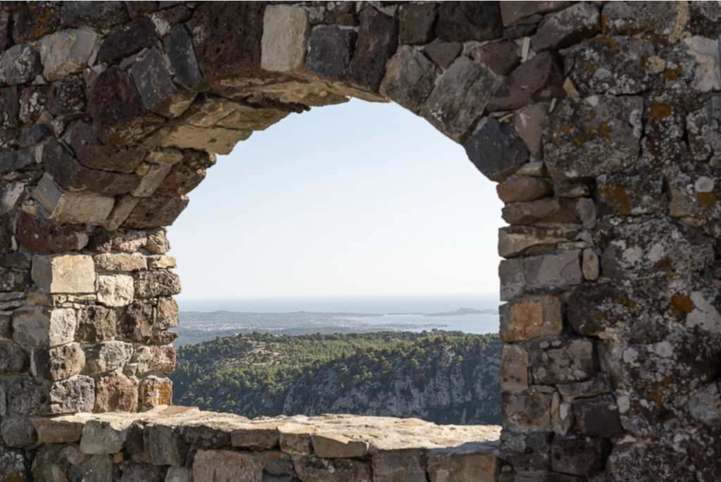
Description
The Crêtes du Croupatier is a captivating hike between sea and sky, taking you to the heights of Provence. The route offers spectacular views of the large and small Toulon harbor, as well as the perched medieval village of Évenos to the west. Historic and natural sites such as the ruins of Chappe's telegraph tower and the Destel gorges dot the route, offering total immersion in the wild beauty and heritage of Provence.
Distance and time
- Distance: 11,7 km.
- Duration: approx. 3 h 30.
Difficulty
- Level: medium.
- Terrain: varied, with a positive gradient of 400 metres, including some sections that are narrow, rocky and can be slippery depending on the season.
Assets
- Spectacular panoramas: breathtaking views of Toulon harbor, the Golden Isles, Mont Caume and the medieval village of Evenos.
- Historical heritage: discover the ruins of the Chappe telegraph tower and the cade ovens.
- Natural diversity: through varied landscapes, from ridges to valleys, with rich Mediterranean vegetation.
- Cultural immersion: discover local heritage features such as the Destel gorges and views of the Bec de l'Aigle.
In a nutshell

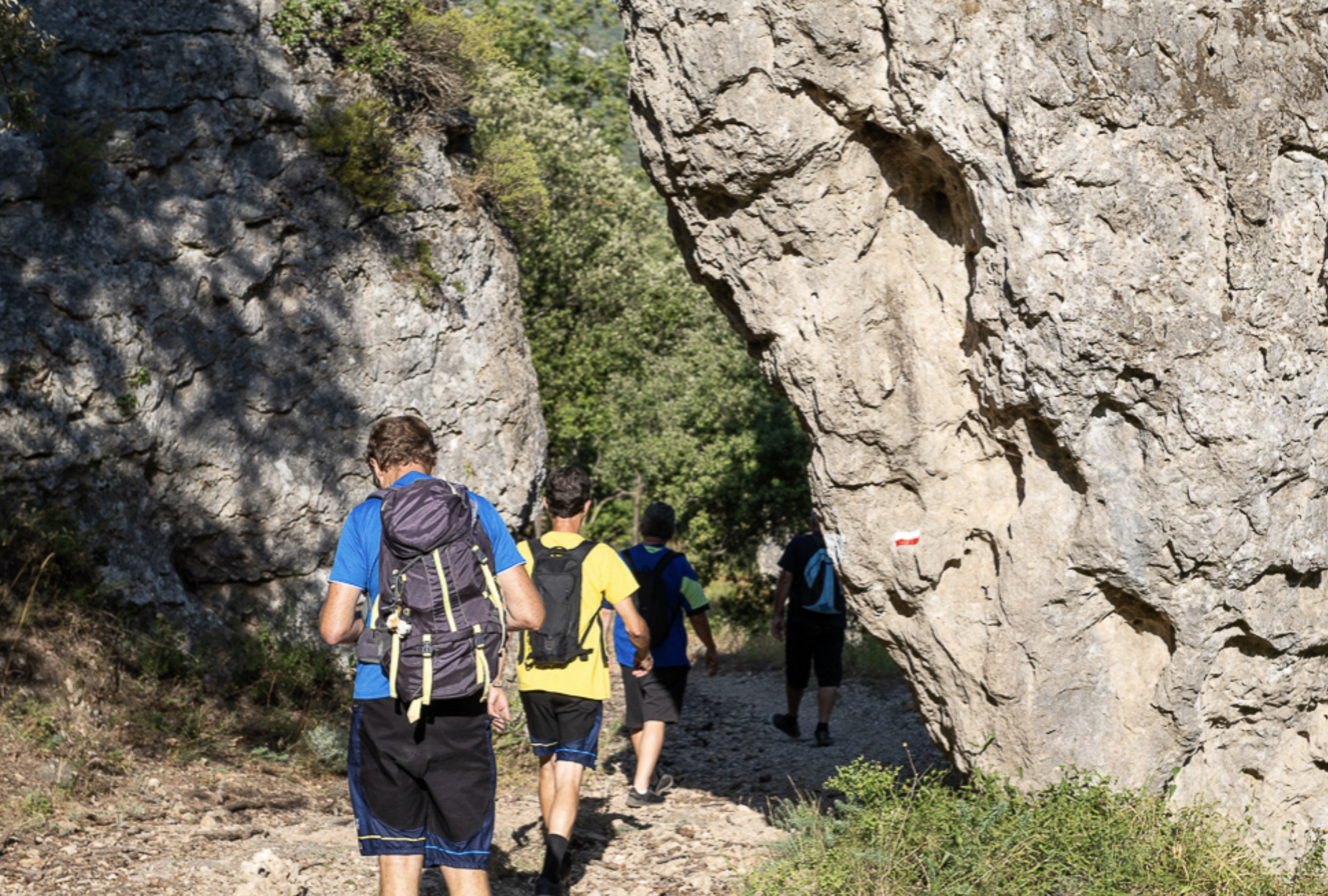
4. From Siou-blanc to Aiguilles de Valbelle
Signs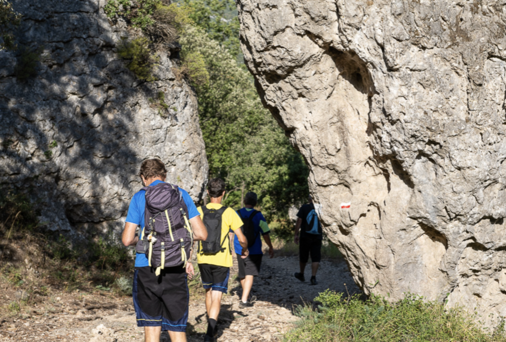
Description
This loop hike takes you through the Siou-Blanc massif, an area rich in history and unique geological formations. You'll pass through the Morières forest before discovering the impressive mineral sculptures of the Aiguilles de Valbelle, carved by erosion over thousands of years. The Siou-Blanc plateau, with its karstic relief and deep sinkholes, is an emblematic place for caving enthusiasts and nature lovers alike. The route is also marked by historic sites such as the Siou-Blanc shelter, a rallying point for Resistance forces during the Second World War, and the stele in memory of Toulon's maquisards.
Distance and time
- Distance: 12 km.
- Duration: approx. 4 hours.
Difficulty
- Level: medium to difficult.
- Terrain: the climb is steep and stony, and the terrain is varied with rocky sections and deep caves requiring caution.
Assets
- Spectacular panoramas: magnificent views of the rocky peaks of the Aiguilles de Valbelle, and discovery of the unique karstic landscape of the Siou-Blanc plateau.
- Historical heritage: visit the Siou-Blanc shelter, a historic Resistance site, and pass by the Toulon Maquis commemorative stele.
- Natural diversity: through dense forests, rocky areas and caves, perfect for geology and caving enthusiasts.
- Cultural immersion: discover regional sites such as the medieval village of Le Castellet and the nearby Chartreuse de Montrieux-le-Jeune.
In a nutshell
5. The coastal path
Between Bandol and Saint-Cyr-sur-Mer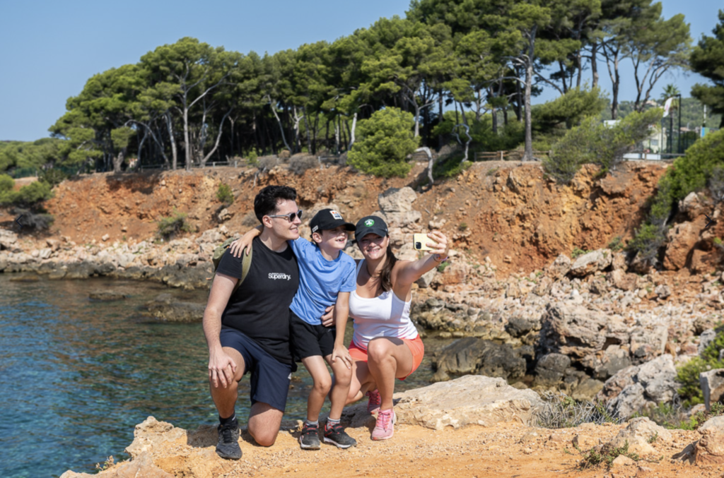
Description
This coastal hike takes you along the sea, where you'll enjoy exceptional views of turquoise waters and Mediterranean landscapes. The trail starts in Bandol and heads towards Saint-Cyr-sur-Mer. You'll pass secluded coves, steep cliffs and areas of vegetation typical of the region, such as maquis and umbrella pines. Points of interest include inviting beaches for a swim and breathtaking viewpoints.
Distance and time
- Distance: 12 km (one way)
- Duration: approx. 3 h 30.
Difficulty
- Level: easy to moderate.
- Terrain: the trail has hilly sections, rocky portions and stairs that may require a little extra effort, but most of the route is accessible to walkers of all levels.
Assets
- Breathtaking panoramas: admire the Mediterranean Sea, nearby islands and rocky coves. The seascapes are often enriched by splendid views of the surrounding hills.
- Mediterranean biodiversity: you'll pass through areas rich in flora typical of the region, such as aromatic plants (rosemary, thyme) and maquis formations.
- Coastal atmosphere: discover the charm of coastal towns like Bandol and Saint-Cyr-sur-Mer, with their markets, lively harbors and beaches.
- Accessibility: the trail is well-maintained and suitable for all levels of hiker, making it an excellent option for a getaway with family or friends.
Fire hazard
📌 Good to know: during the summer months, access to certain massifs may be restricted due to high fire risks. To find out when these are open, check the official map before setting off on your adventure.